- News
- PRECISION MEETS EFFICIENCY
Laser scans and georeferencing on the construction site
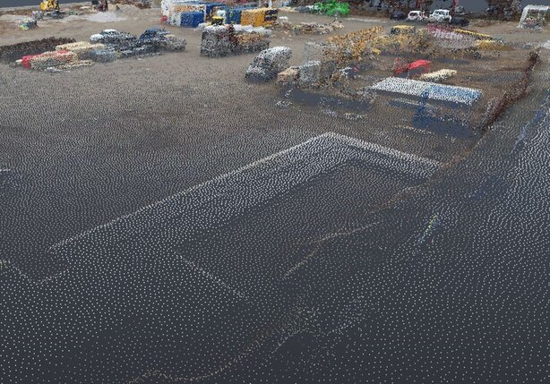
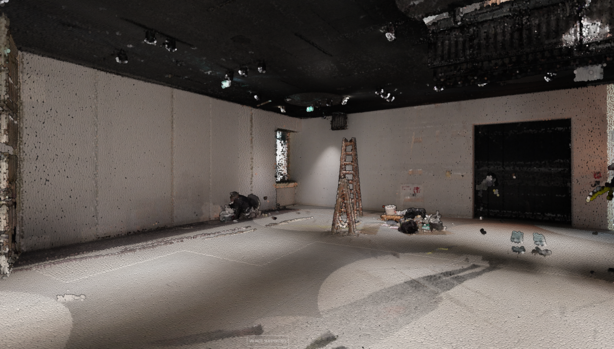
Laser scanning as a surveying method is becoming increasingly important on construction sites. A laser beam scans the environment and captures millions of precise measurement points as a point cloud, which are then merged into a detailed 3D model.
This pays off, as the following five advantages prove:
1. precision: due to the high accuracy, measurements can be carried out with millimeter precision. This means, for example, that construction site equipment can be optimally placed and GPS-controlled construction machinery can be efficiently controlled. In addition, the scanned data provides exact height and depth information for precise execution of excavation and grading work.
2. efficiency: instead of tedious hand surveying, the entire site or building can be captured with just a few scans and precise 3D models can be created from them.
3. error detection: thanks to the detailed 3D model, potential errors or collisions can be detected at an early stage. This not only saves time, but also costs for later corrections - an advantage also in the context of technical building equipment. By accurately recording the existing structures and installations, precise info on the geometry, placement and connections of the technical systems can be made.
4. documentation: laser scans enable comprehensive documentation of the construction progress. This allows comparative models to be created to track progress, identify any deviations and take action to stay on schedule.
5. sustainability: laser scans enable accurate material and resource planning, which reduces waste and contributes to sustainability. An as-built model, based on the scanned data, represents the actual executed building structure and serves as the basis for AR-based maintenance tools. These support the team on site with accurate visual info to perform maintenance work efficiently and precisely.
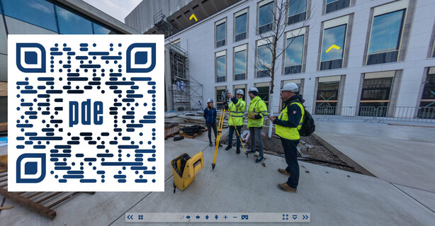
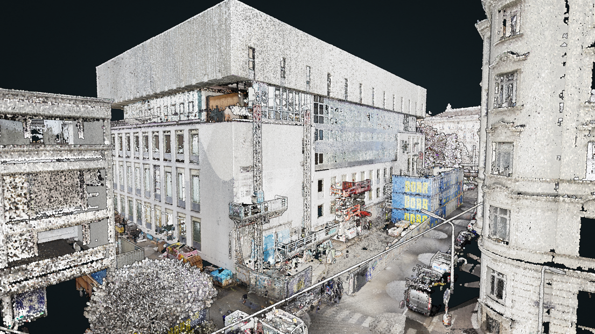
The Wien Museum as a 3D model
In order to create detailed as-built surveys using laser scans, drones are used in open areas and special laser scanners are used indoors. This was the case during the renovation and expansion of the Wien Museum.
As pioneers in the use of digital tools, our BIM Excellence team, with the active support of RIEGL Laser Measurement Systems, created point clouds for the entire Arial and then an as-built BIM model.
You too can dive in. Scan the QR code and join our experts on a tour of the Wien Museum.
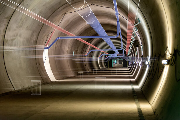
The secret behind efficient infrastructure projects
The accurate representation of geographic information is crucial for the successful planning and execution of construction projects. Georeferencing, which involves defining a coordinate system, is indispensable in this regard, especially for large infrastructure projects. A spectacular example in civil engineering is the Koralm Tunnel. Here, a tailor-made one was developed by combining two coordinate systems.
The reason: on the one hand to facilitate surveying and on the other hand to ensure that the tunnel boring machines actually meet exactly in the middle. It also makes it easier for the surveyors to position and align the machines precisely. Always bearing in mind that the coordinate system chosen must be internationally recognized and compatible with GPS technology. In this way, errors and deviations in the project can be significantly reduced and productivity increased.
Do you need information and know-how about laser scanning and georeferencing?
Then contact: